|
Zanesville was named after Ebenezer Zane (1747–1811), who had blazed Zane's Trace, a pioneer trail from Wheeling, Virginia to Maysville, Kentucky through present-day Ohio. In 1797, he remitted land as payment to his son-in-law, John McIntire (1759–1815), at the point where Zane's Trace met the Muskingum River. With the assistance of Zane, McIntire platted the town, opened an inn and ferry by 1799. In 1801, Zanesville was officially renamed, formerly Westbourne, the chosen name for the settlement by Zane. From 1810–1812, the city was the second state capital of Ohio. The National Road courses through Zanesville as U.S. Route 40. The city grew quickly in the 1820s–1850s. 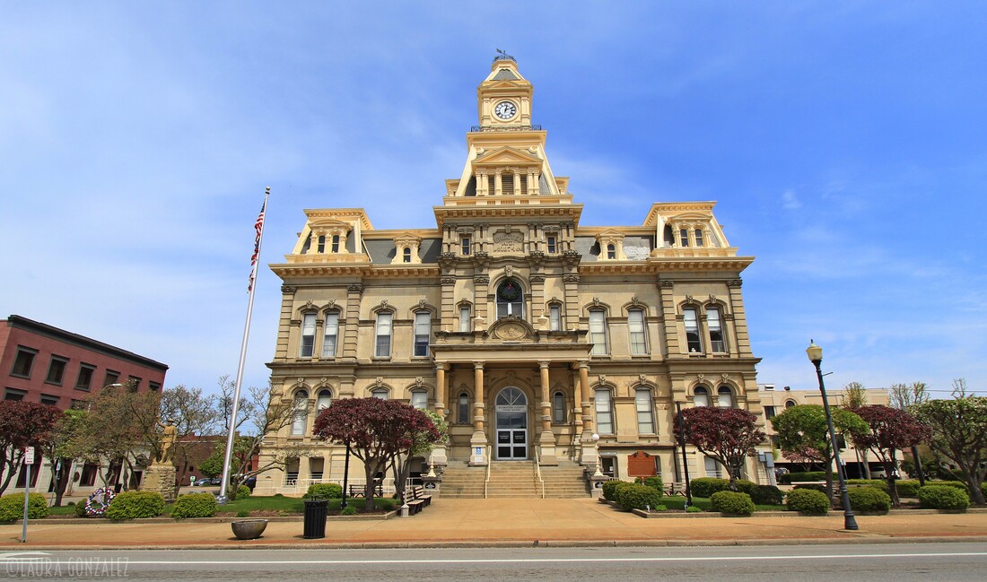 Muskingum County Courthouse 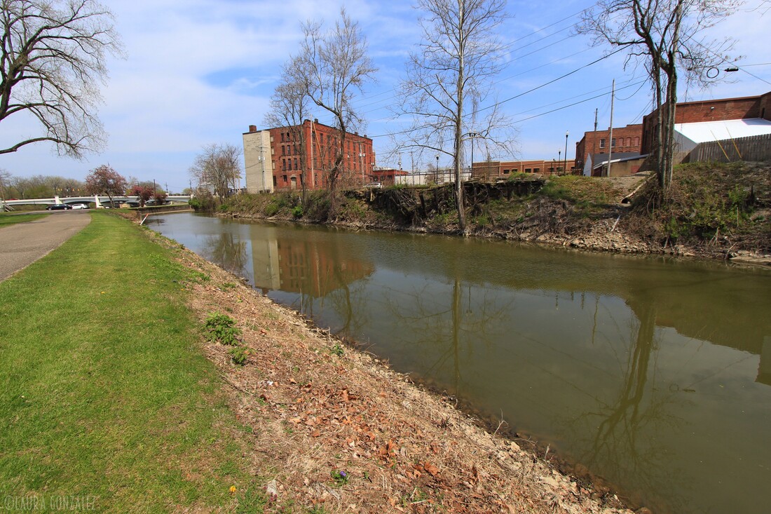 The canal that leads to Lock #10 along the Muskingum River in Zanesville The city increased, largely because of factories producing pottery, bricks, glassware, ball-bearings, soap, steel and many other products from the 1880s until the mid-1950s. The city had a booming downtown economy and increase in the northern area of the town. By the 1950s many factories had closed or moved. Pottery, a major industrial employer, slowly waned in demand because of cheaper Asian companies. After WW-2 the city held its own. During the 1950s until the 1980s nearly one-third of the population abandoned the city. In the 1990s the city/county opened industrial parks and several housing developments were built in the northern parts of the city. 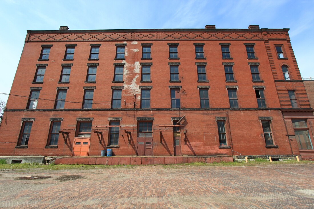  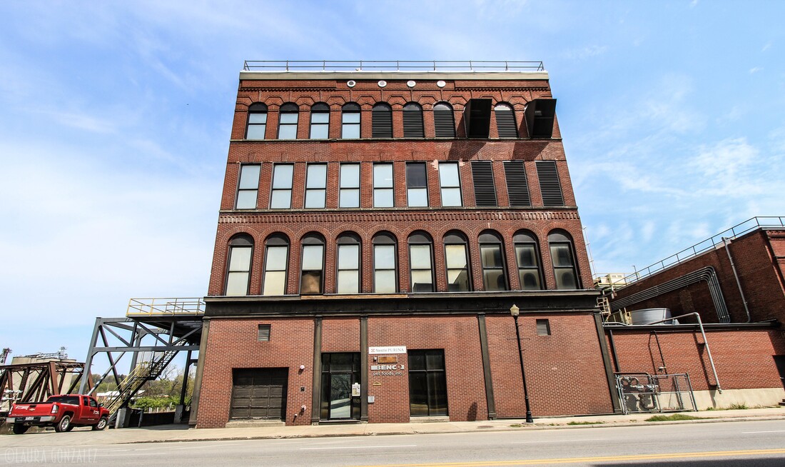 The Zanesville Y-Bridge is a historic Y-shaped three-way bridge that spans the confluence of the Licking and Muskingum Rivers in downtown Zanesville, Ohio. It carries the traffic of U.S. Route 40 (Main Street and West Main Street), as well as Linden Avenue.The first Zanesville Y-Bridge was constructed in 1814. The trestle bridge stood for four years. The second wooden bridge was erected in 1819. New roads were built in the area and traffic increased. A winter flood in 1831–1832 weakened the second bridge to be unsafe for the increased traffic. A third iteration, a wooden covered bridge was completed in 1832 and stood until 1900.The next bridge opened in early 1902. It had concrete balustrade railings which were lost to the 1913 flood and replaced with pipe railings. The fourth bridge was deemed unsafe in 1979. After demolition it was found that only one of the three segments needed actual replacement, the other spans would have needed only surface repairs.The current concrete and steel bridge is the fifth in the series on the same location. It opened in 1984. 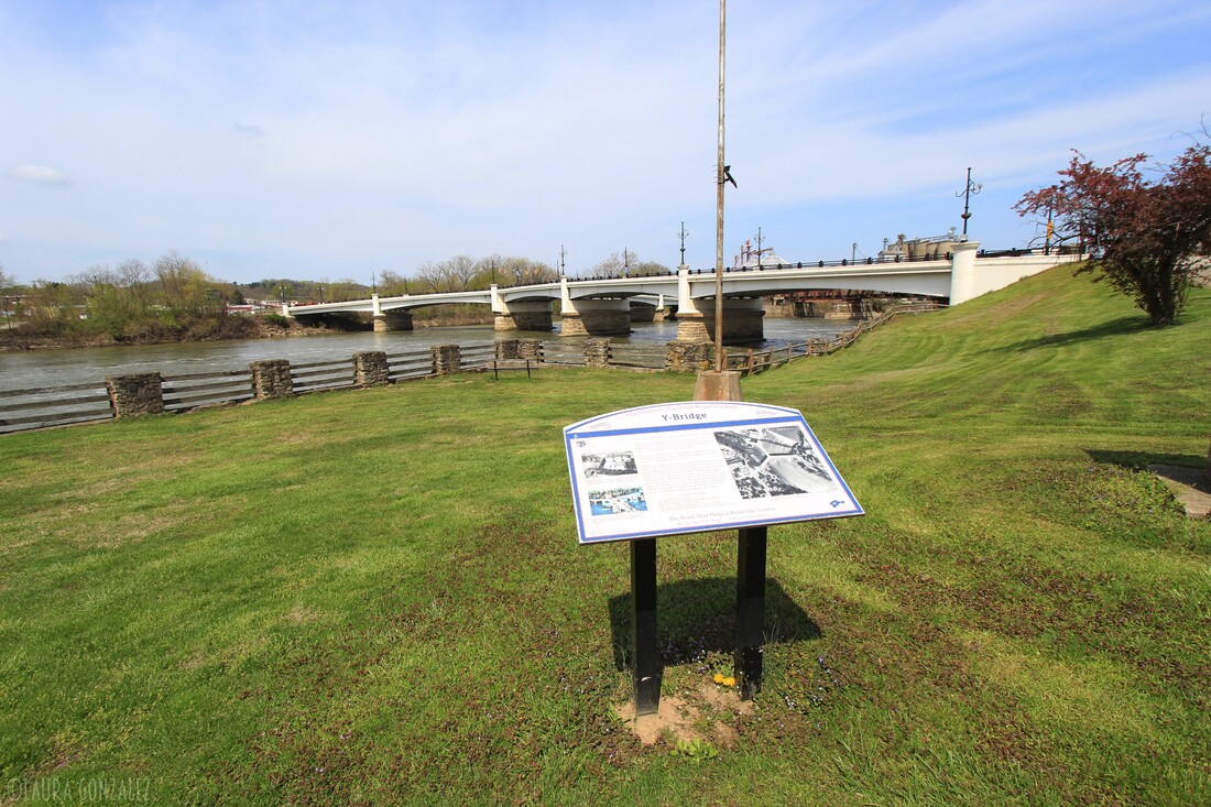 Zanesville Y-Bridge 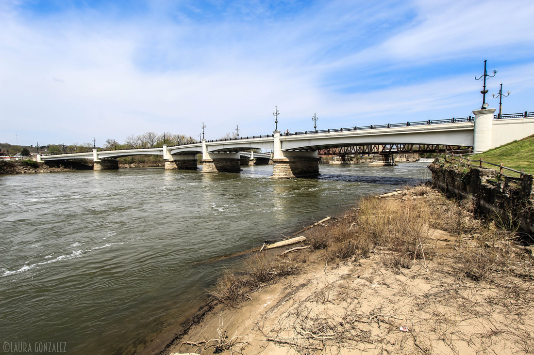 Zanesville Y-Bridge 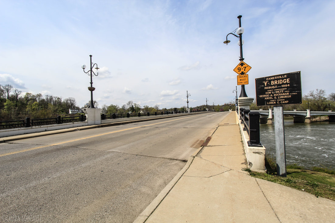 Zanesville Y-Bridge The Muskingum River has been an important pathway throughout much of Ohio's history. Originally the Muskingum River was not navigated easily but in 1836 a new project known as the Muskingum River Improvement began. The project consisted of a system of eleven locks and dams that made the Muskingum River navigable from Marietta to a short feeder canal south of Dresden, Ohio, that connected to the Ohio and Erie Canal. It was completed in 1841. Lock #10 is located in Zanesville. 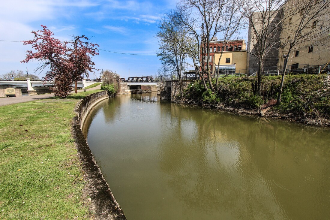 The canal that leads to Lock #10 along the Muskingum River in Zanesville 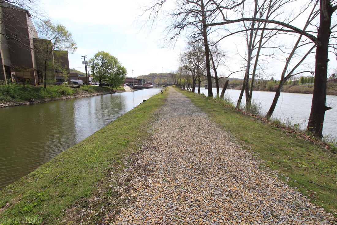 The canal that leads to Lock #10 along the Muskingum River in Zanesville 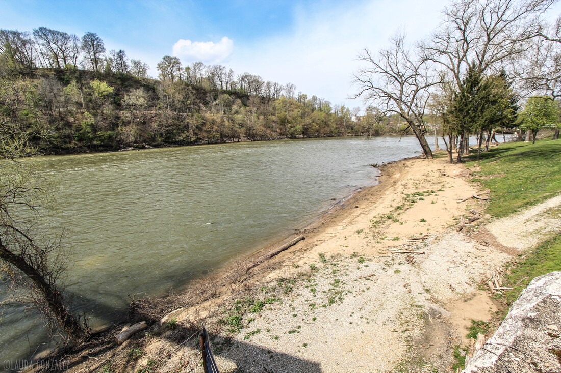 Muskingum River in Zanesville "In late March 1913, an unusually heavy rainstorm moved into Ohio. It rained steadily for five days and the water levels rose rapidly. By the third day of the downpour, levees were overtopped and many towns suffered disastrous flooding. When the flood waters receded, tons of mud and debris covered the streets, homes, businesses and factories of towns like Zanesville, where the Muskingum River had crested 27 feet above flood stage and water was 20 feet deep at several downtown intersections. The death toll for the disaster stood at 361, and property damages were well over $100,000,000 and 65,000 were forced to temporarily leave their homes."- ohiomemory.org 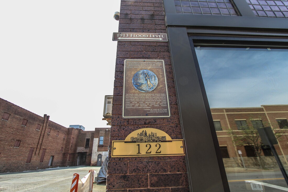 1913 Flood Level 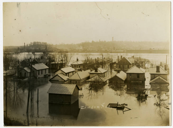 1913 flood damage in Zanesville ohiomemory.org 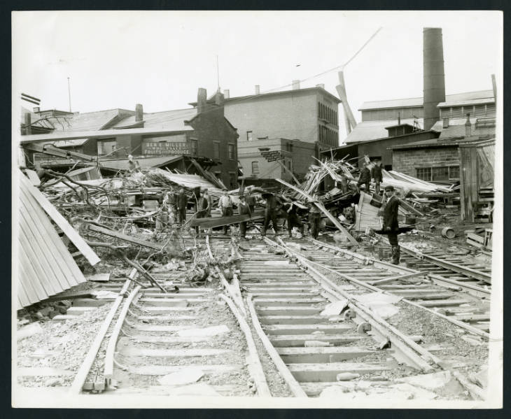 1913 flood damage in Zanesville ohiomemory.org 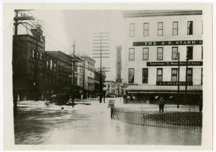 1913 flood damage in Zanesville ohiomemory.org 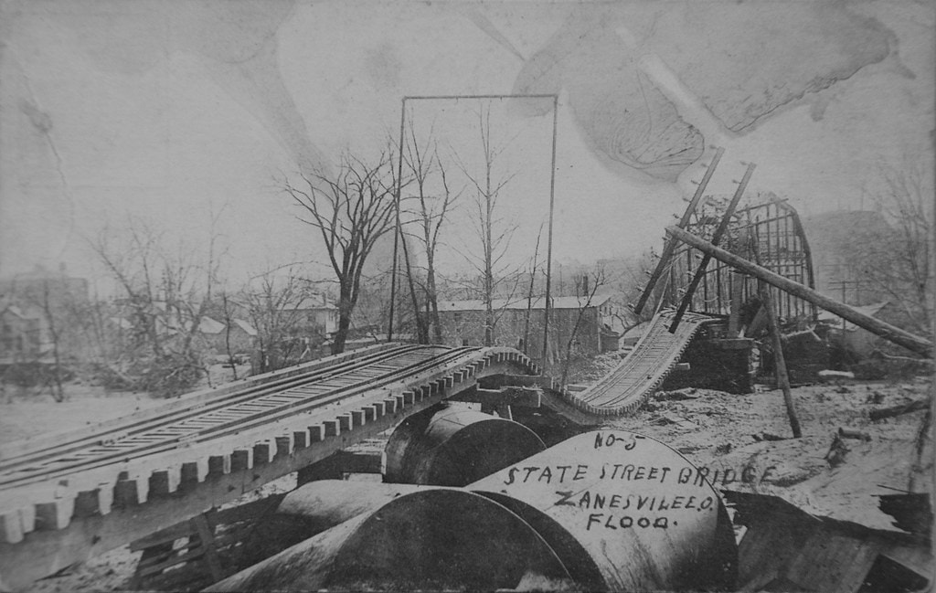 Zanesville State Street Railroad Bridge after 1913 flood Railfanning in Zanesville, Ohio 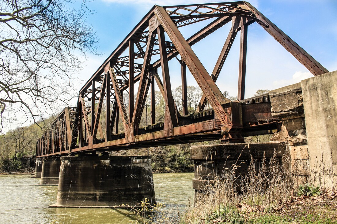 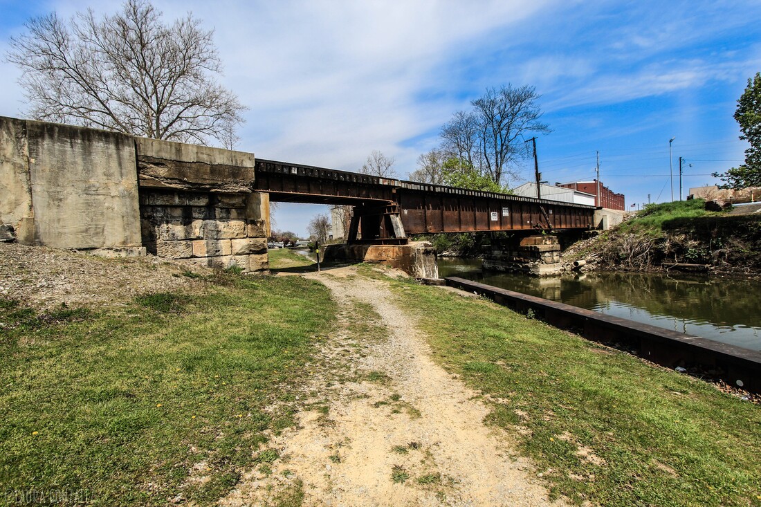 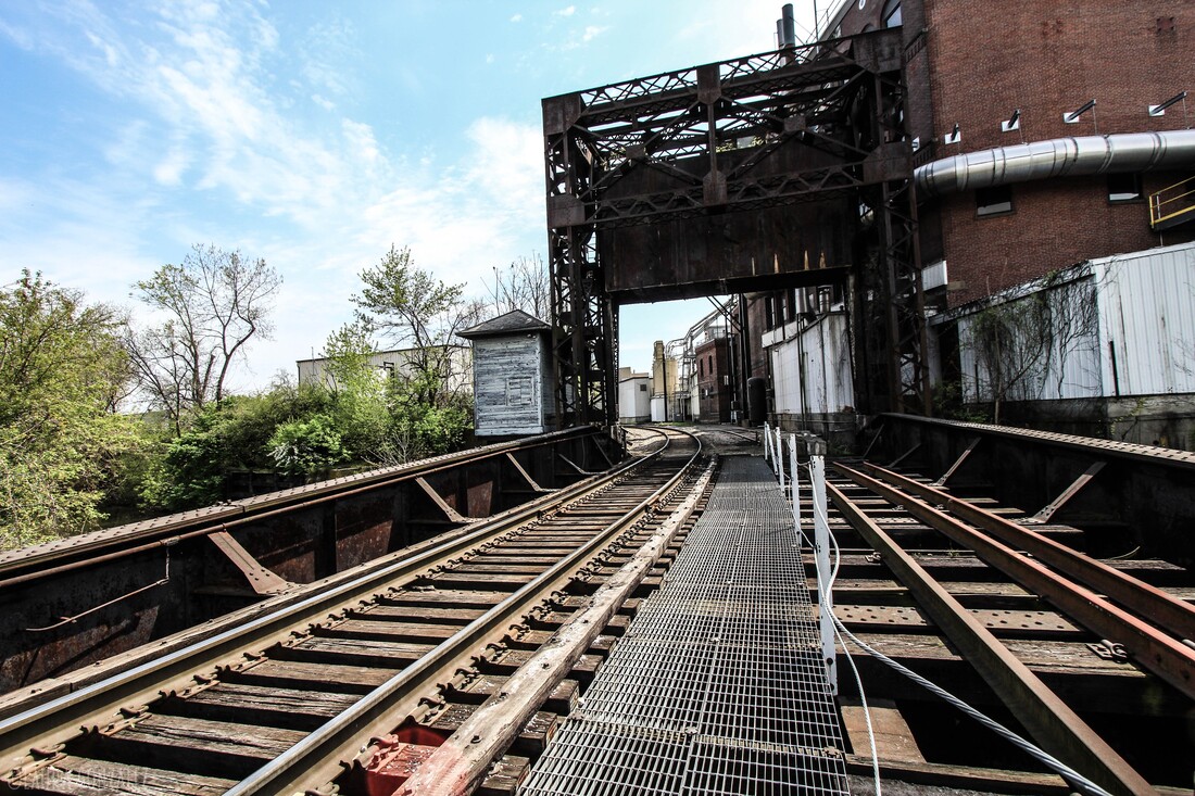 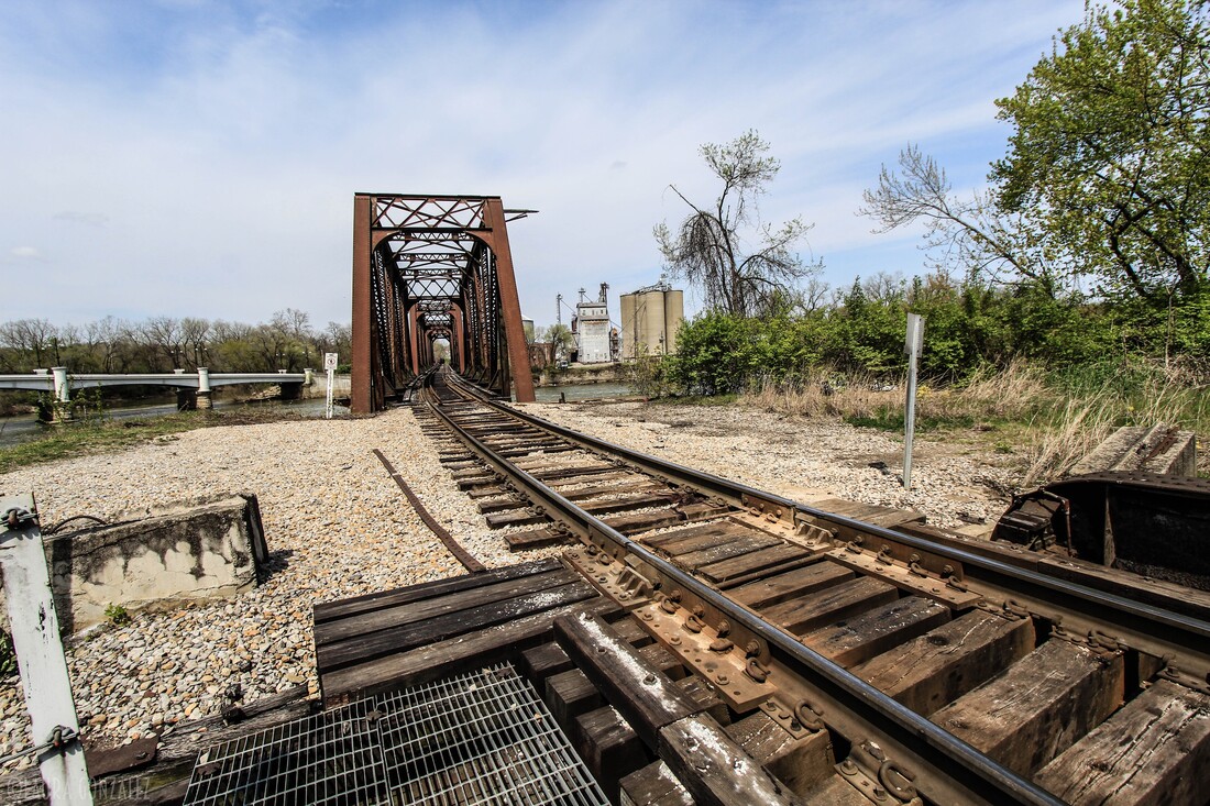 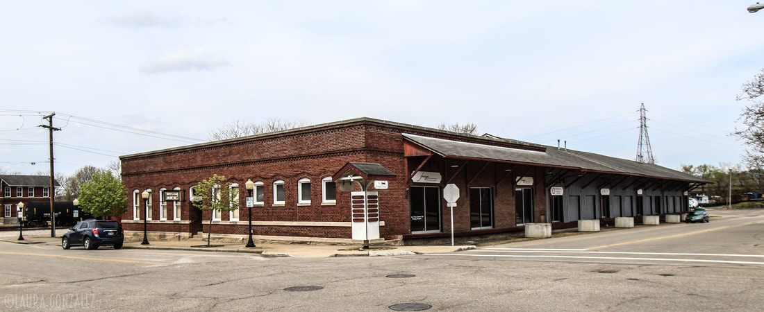 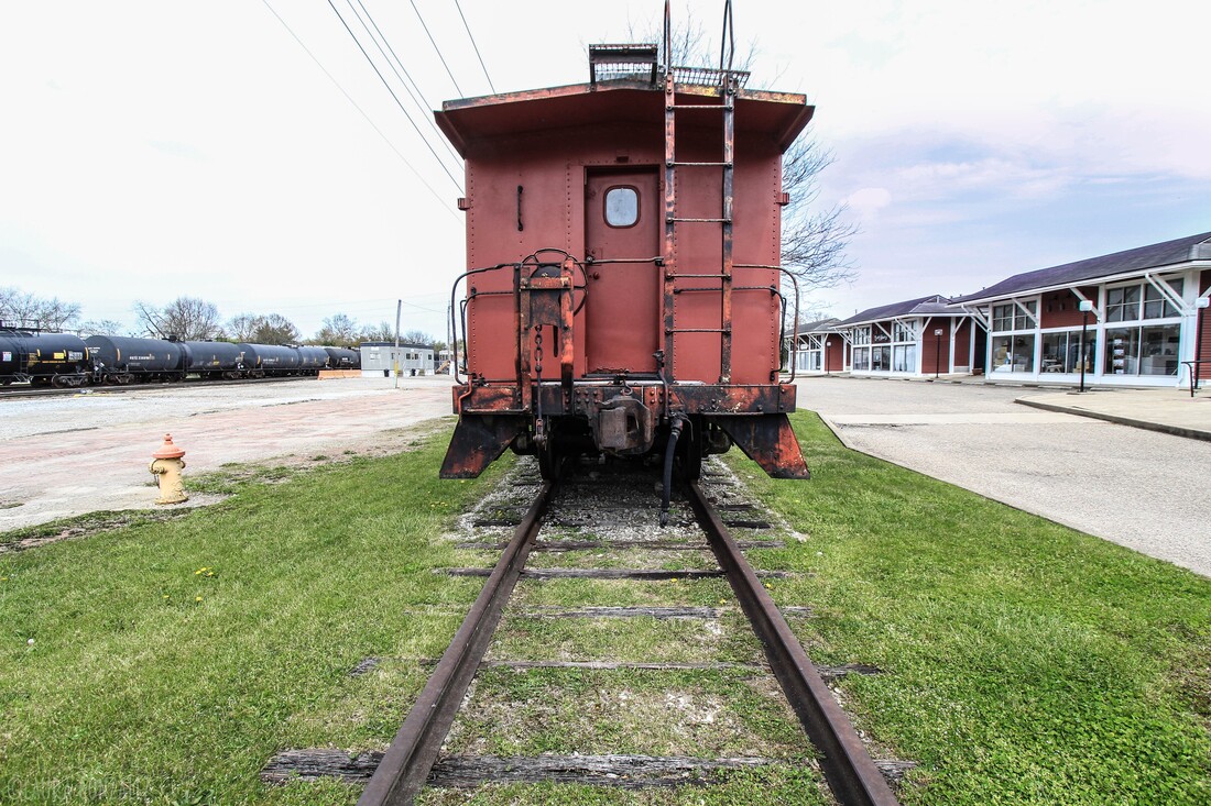 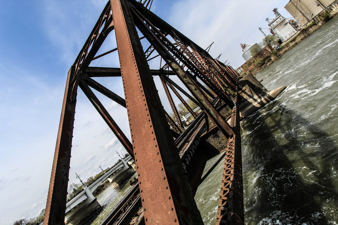 More Pictures of Zanesville, Ohio 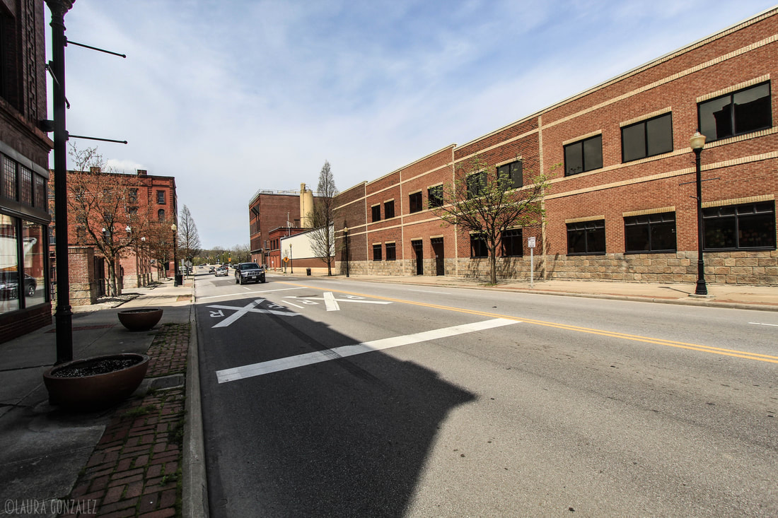 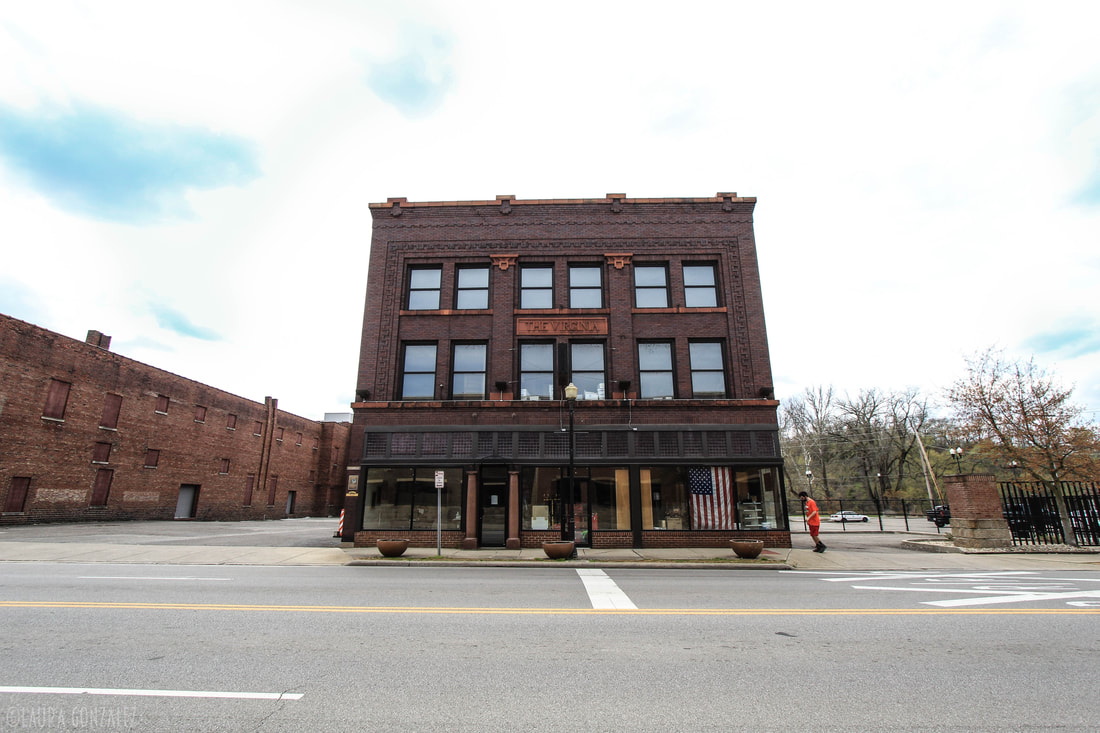 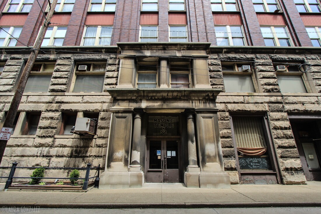 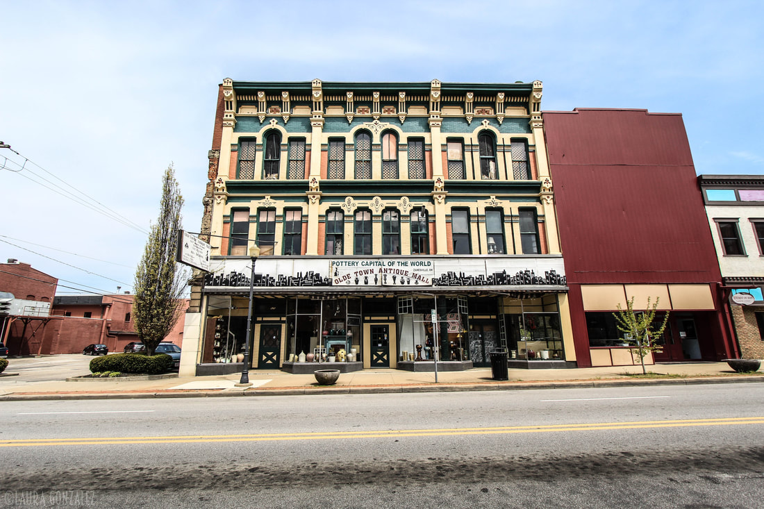  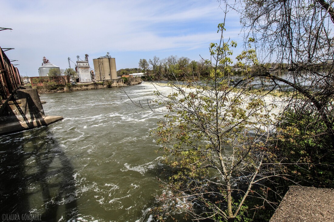  
0 Comments
Dutch traders first settled in Passaic in 1678 with the founding of a fur-trading post. After the river was dammed, industrial growth blossomed. Some of the most successful mills of New Jersey were built in Passaic. Many of them were German worsted mills. The town used to be full of European immigrants, which had come to fill the factories. In the 1970's came deindustrialization, which was pretty much the downfall of many American cities. Passaic would prove no better. The industrial section of the city of Passaic known as the lower Dundee, the east side neighborhood that runs along the bank of the Passaic, is filled with ruins of the cities legacy as an industrial powerhouse. I made my way down to the area to walk the streets where 15,000 woolen mill workers fought for the rights of workers in the Passaic textile Strike of 1926. 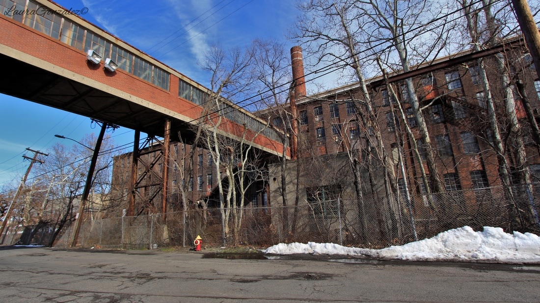 To continue reading the story please click here.....
Located in Somerset County of New Jersey is the small rural community of East Millstone. Located along the Delaware and Raritan Canal, the town grew and prospered during the 19th Century. It was originally called Johnsville, but that was later changed to East Millstone. The original manufacturer of famous Fleishman's Yeast was located here. 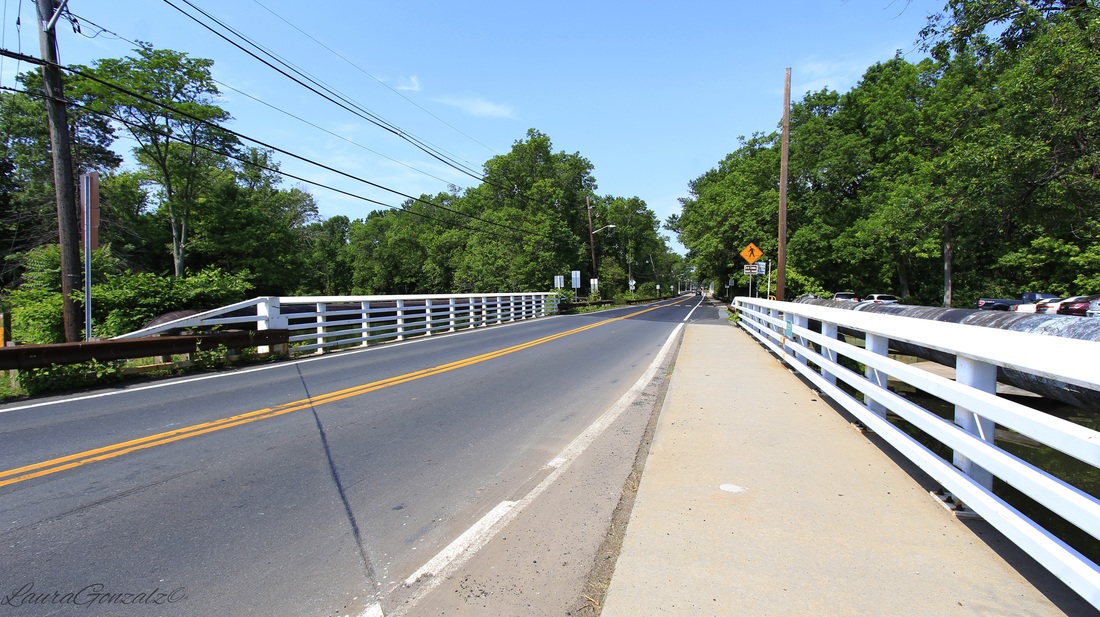 Built in 1752 by Cornelius Van Liew is the Franklin Inn, also known as the Van Liew Tavern is the oldest structure in East Millstone. It is located on Amwell Road, close to the canal. and was an important stopover for canal workers, boatmen and other travelers who utilized the canal system. It was recently operated as a used book store. Despite flooding due to Hurricanes Floyd in 1999 and Irene in 2011, the building still stands in excellent condition. 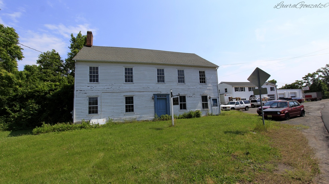 The Franklin Inn The Millstone Township First Aid Squad has been around since 1954. 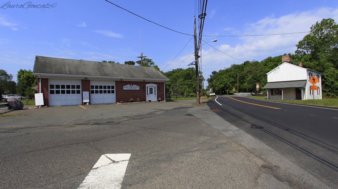 Left:Millstone Township First Aid Squad Right:East Millstone Bridge Tender's House Sitting beside the Delaware and Raritan Canal since 1834 is the East Millstone Bridge Tender's House which housed workers who opened the swing bridge of the canal. It was renovated and repainted in 2010. 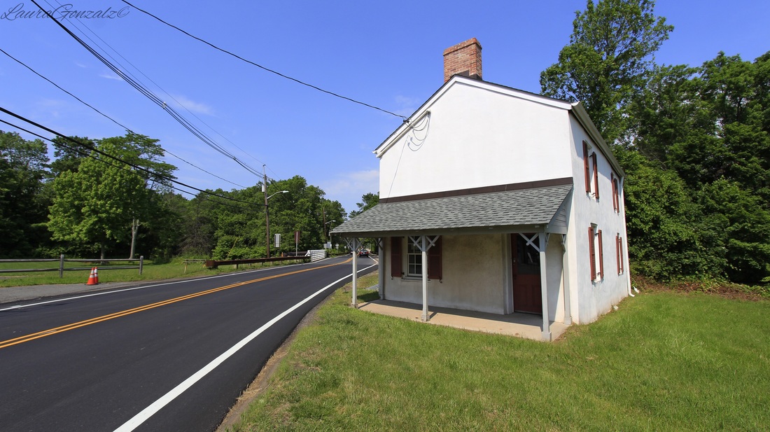 East Millstone Bridge Tender's House The Millstone and New Brunswick Railroad once ran through town but the tracks have since been removed. The coming of the railroads was the reason the town changed its name. 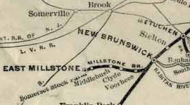 The Millstone Branch as shown on a map created by the Pennsylvania Railroad in 1911 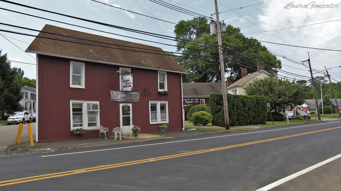 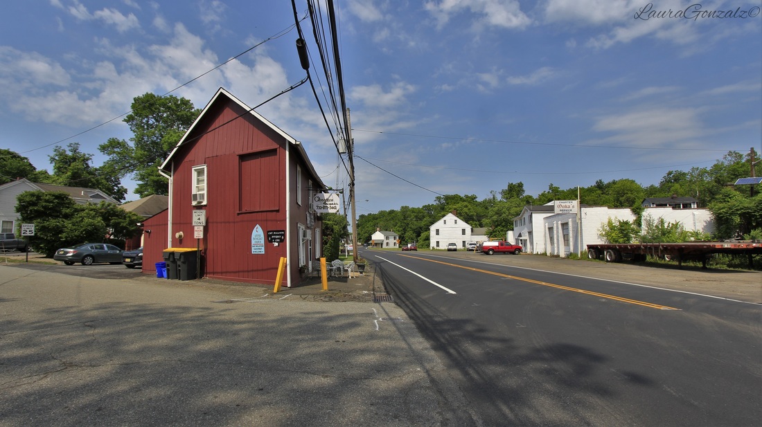 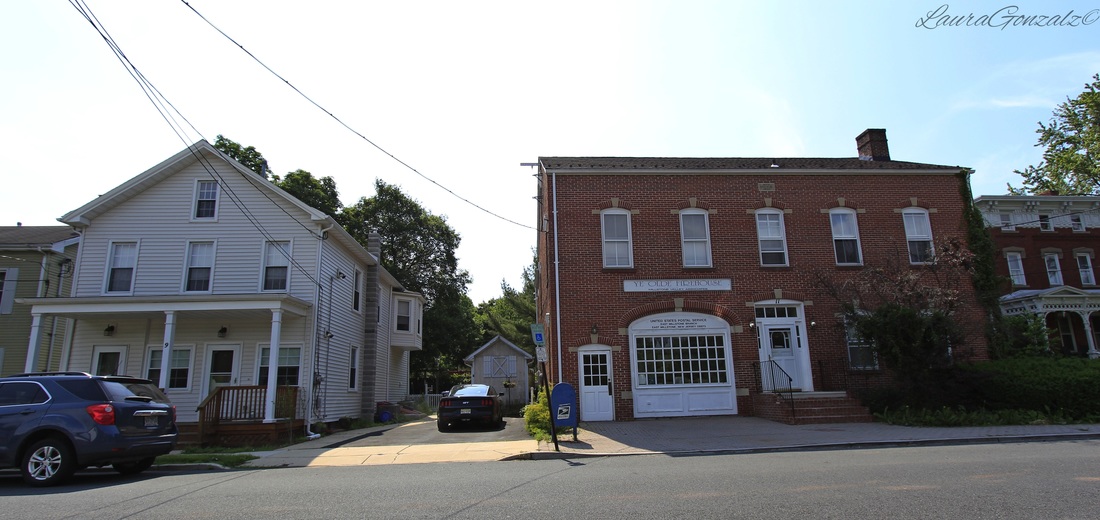 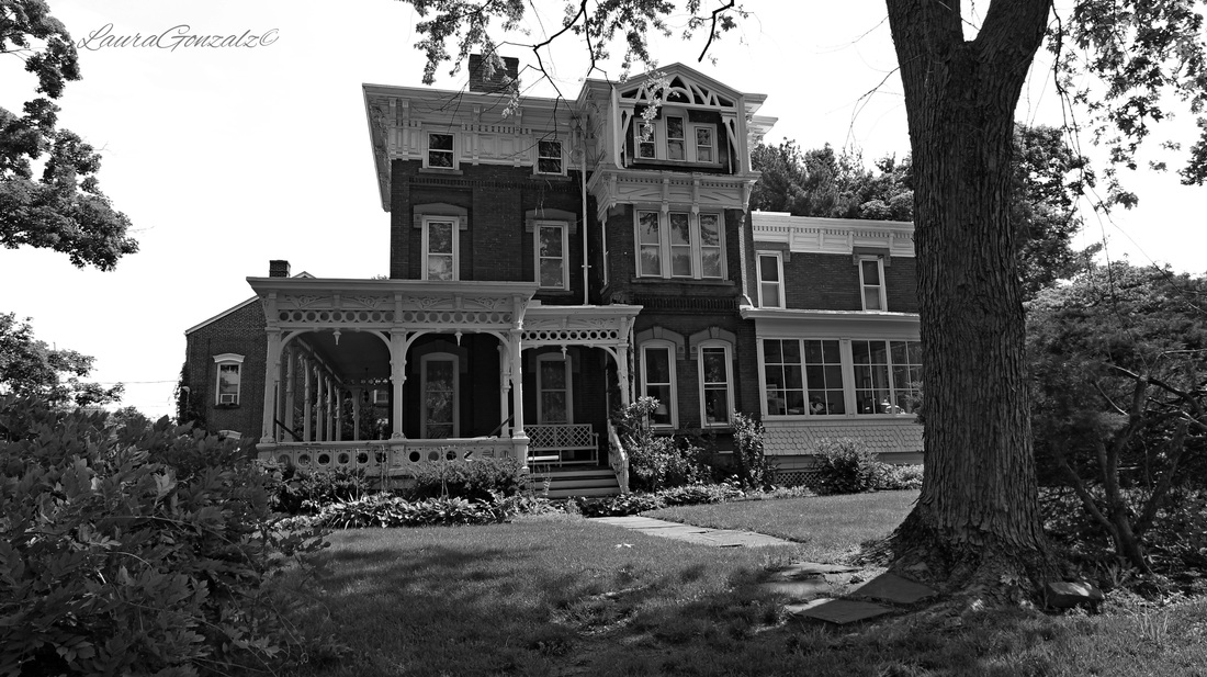 The Wilson House The Wilson House (pictured above) is an example of High Victorian Eclecticism. 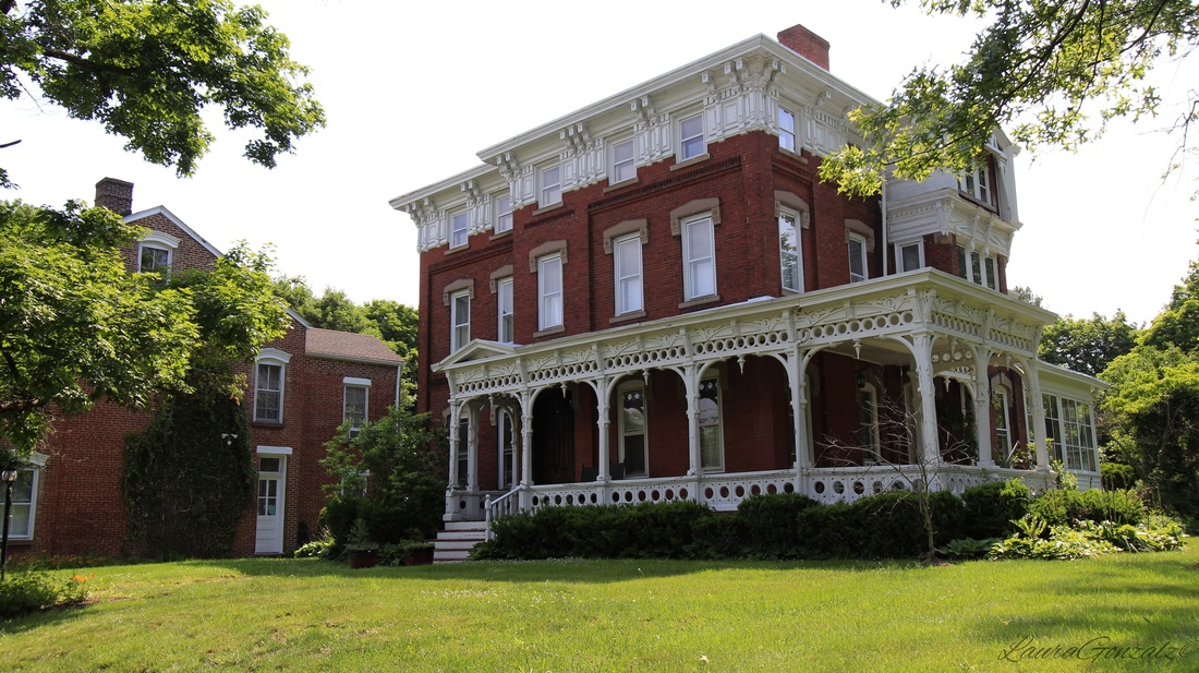 The Wilson House The house was built by Nathanial Wilson, a local entrepreneur who operated a hardware store across Market Street from the canal basin. 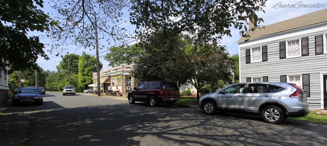  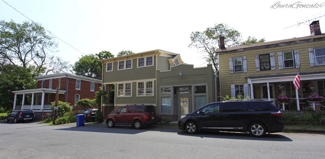 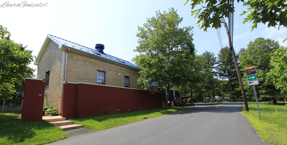 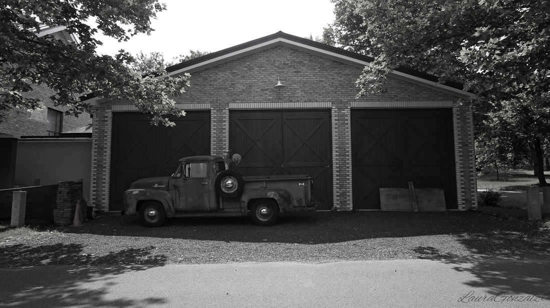 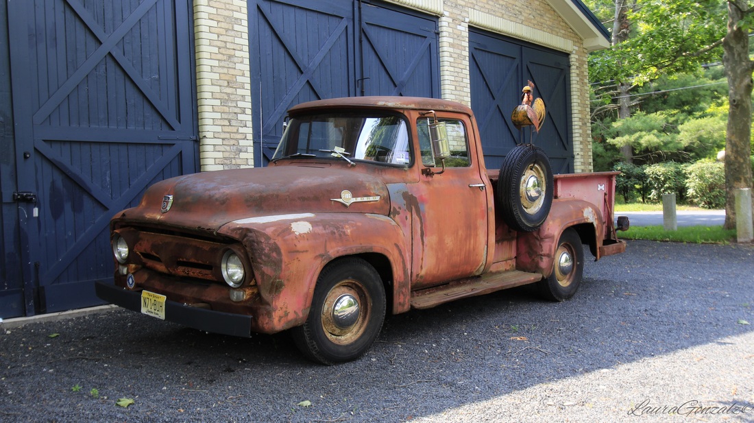 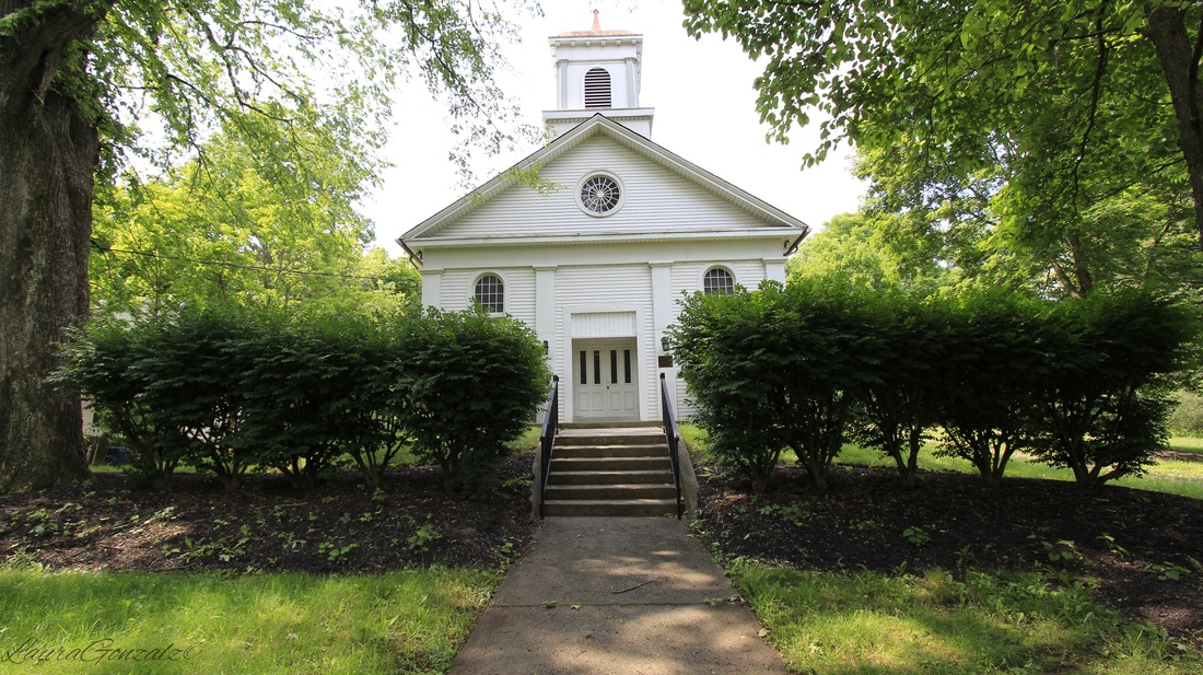 There's five churches in this little town, a big surprise when you take into account the town is comprised of just six or seven short streets of houses.  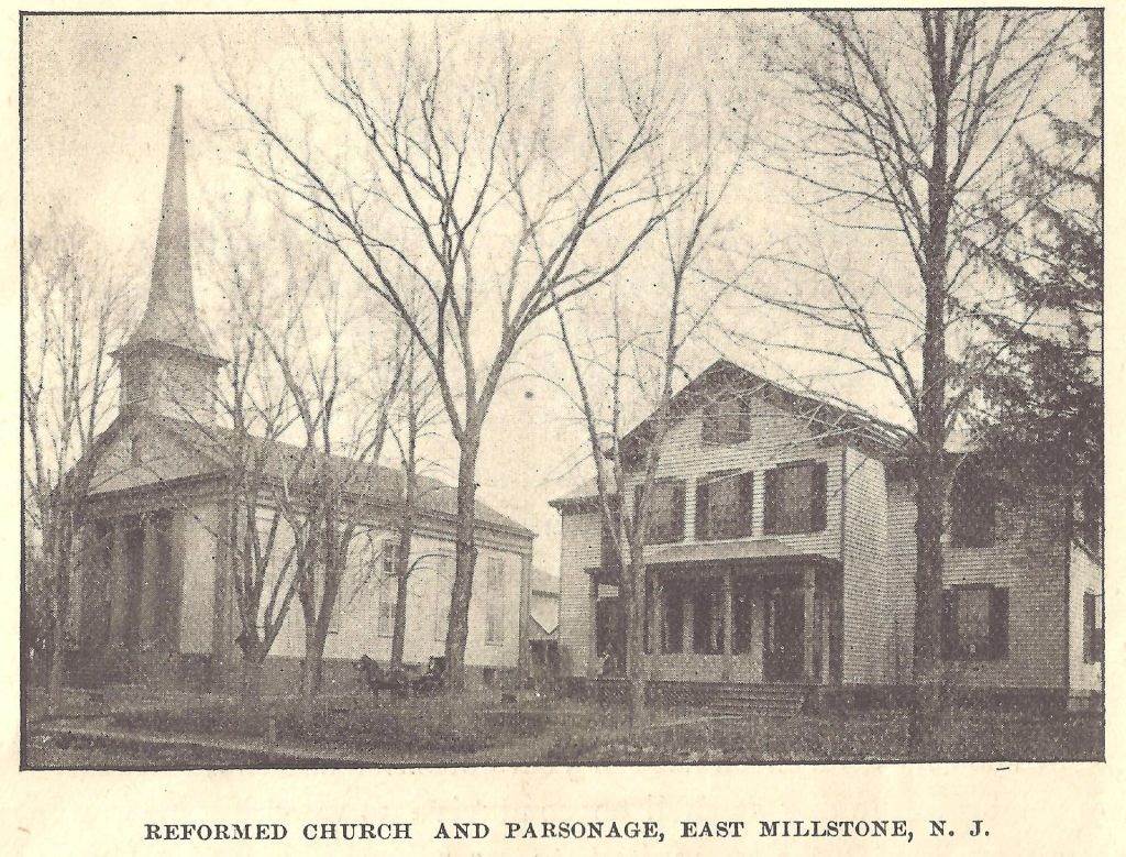 http://www.calvaryem.org/ 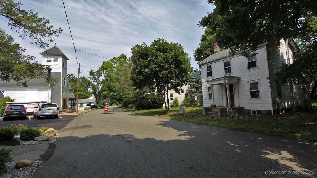 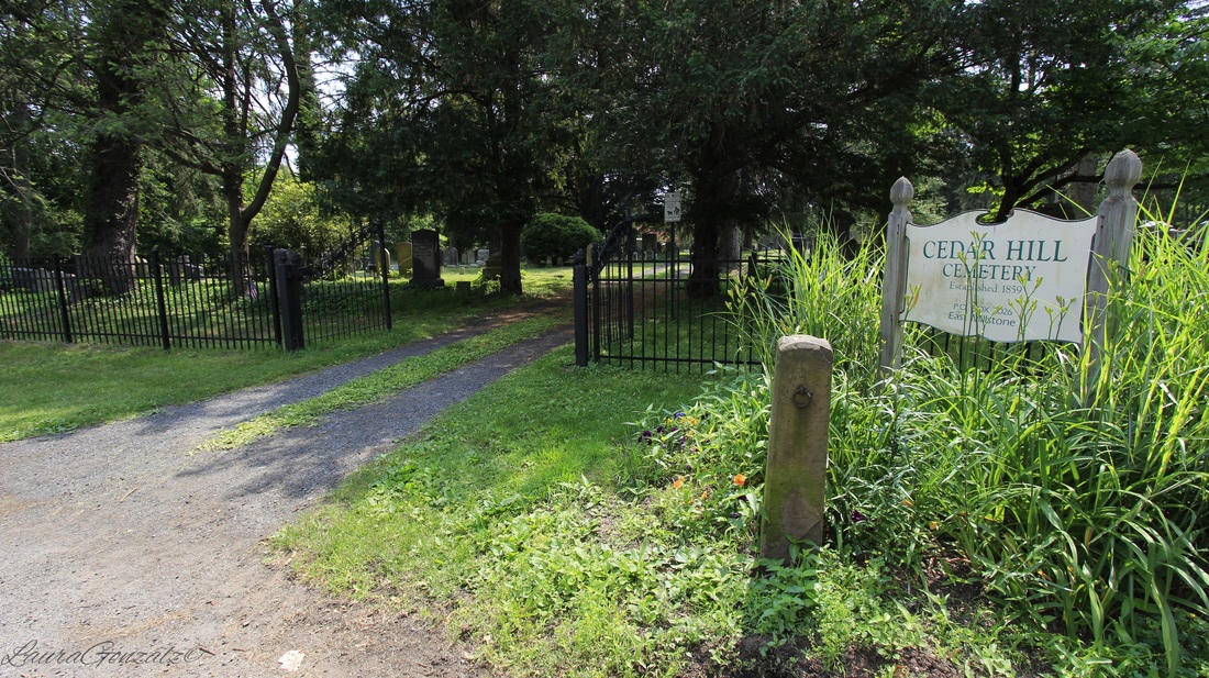 Cedar Hill Cemetery is a small cemetery located off of Wortman Street. 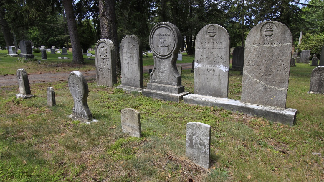 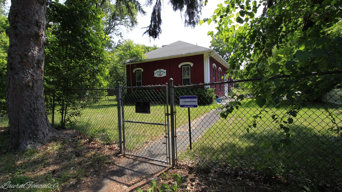 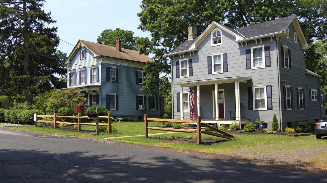 |
ABOUT THE AUTHORLaura Gonzalez is a photographer, blogger and historian currently residing in Newark, New Jersey. Archives
April 2021
Categories
All
|
 RSS Feed
